Forch
Hiking from Forch to Meilen – Trail Pfannenstiel
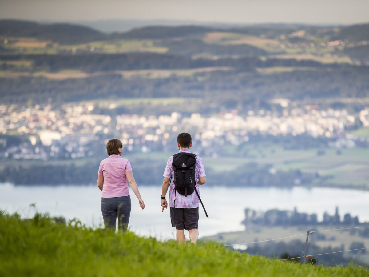
The fantastic hike across the Pfannenstiel ridge offers the best views of Lake Zurich.
- Travel time from Zurich Main Station: 24 min.
- Start: Zurich, Forch
- Finish: Zurich, Meilen
- Length: 10.6km (6.6 miles)
- Duration: 3 hours
- Difference in elevation: 150m (500ft)
- Level of difficulty: easy
- Physical fitness: easy
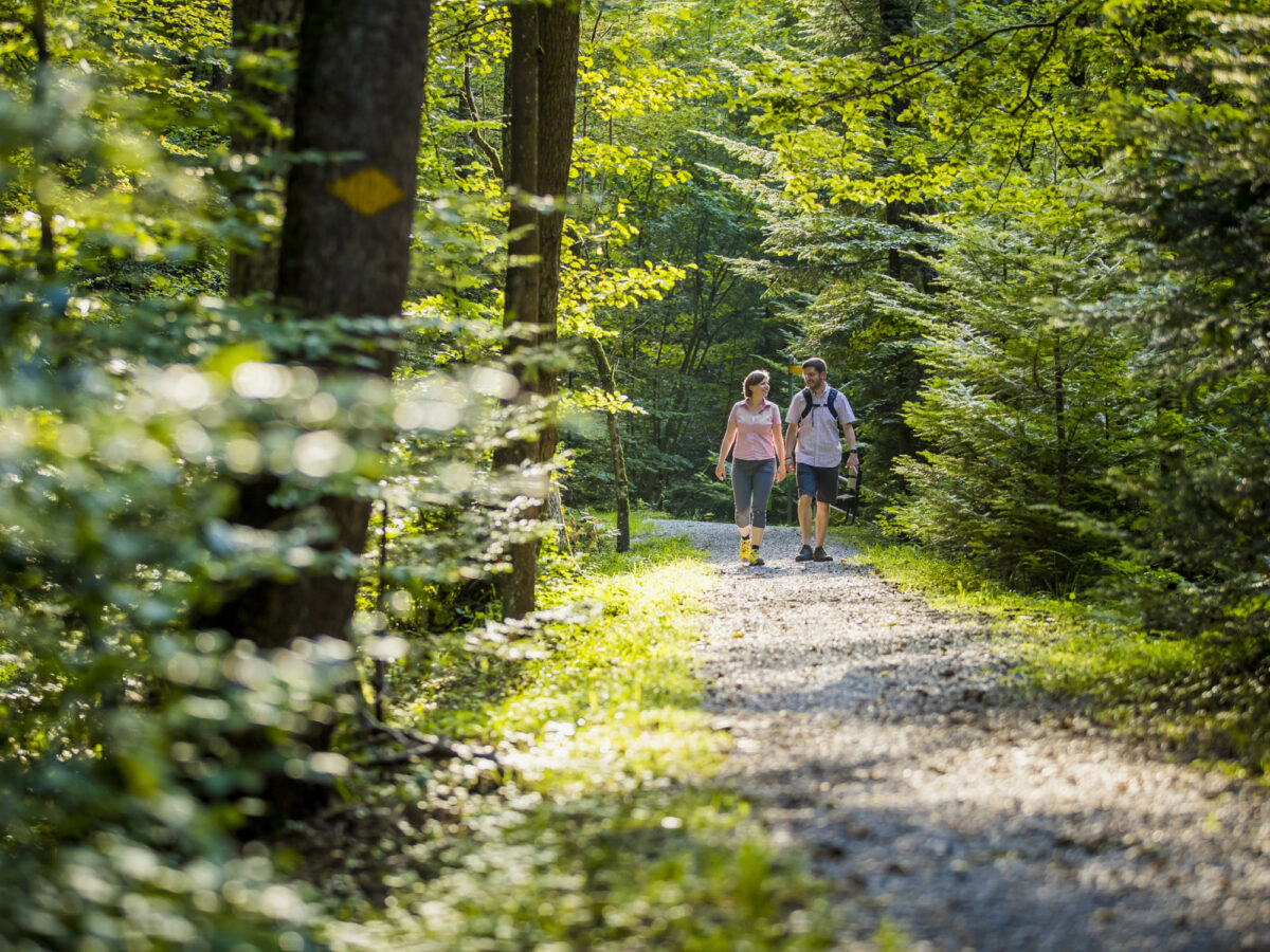
Route Description
The route leads from the station forch to the forest. Here a panoramic view opens op over the Greifensee Lake into the Zurich Oberland.
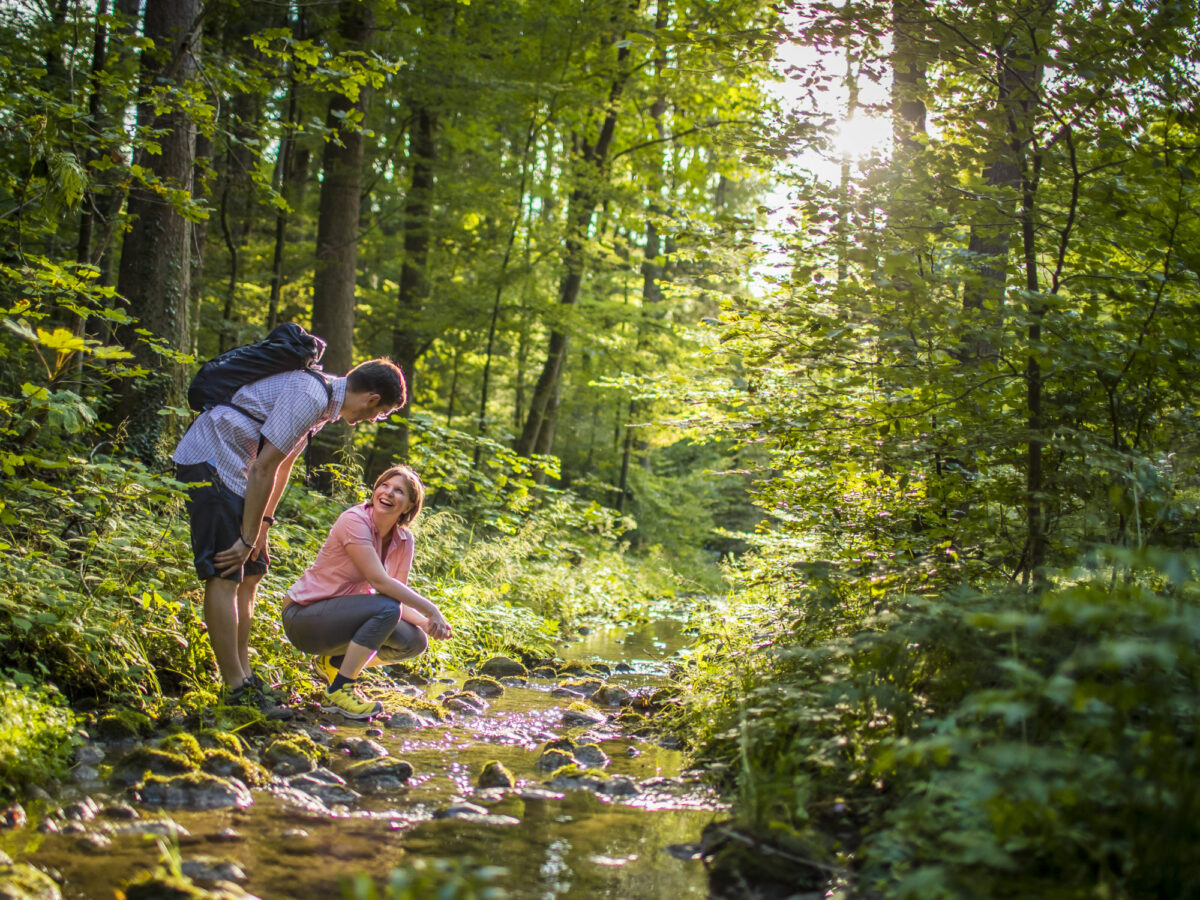
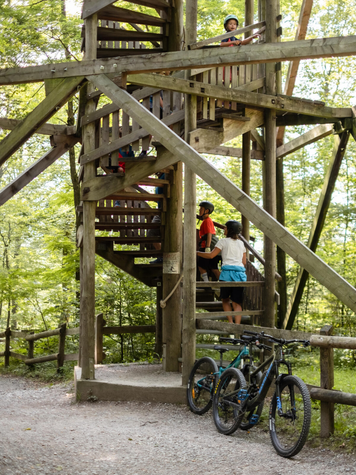
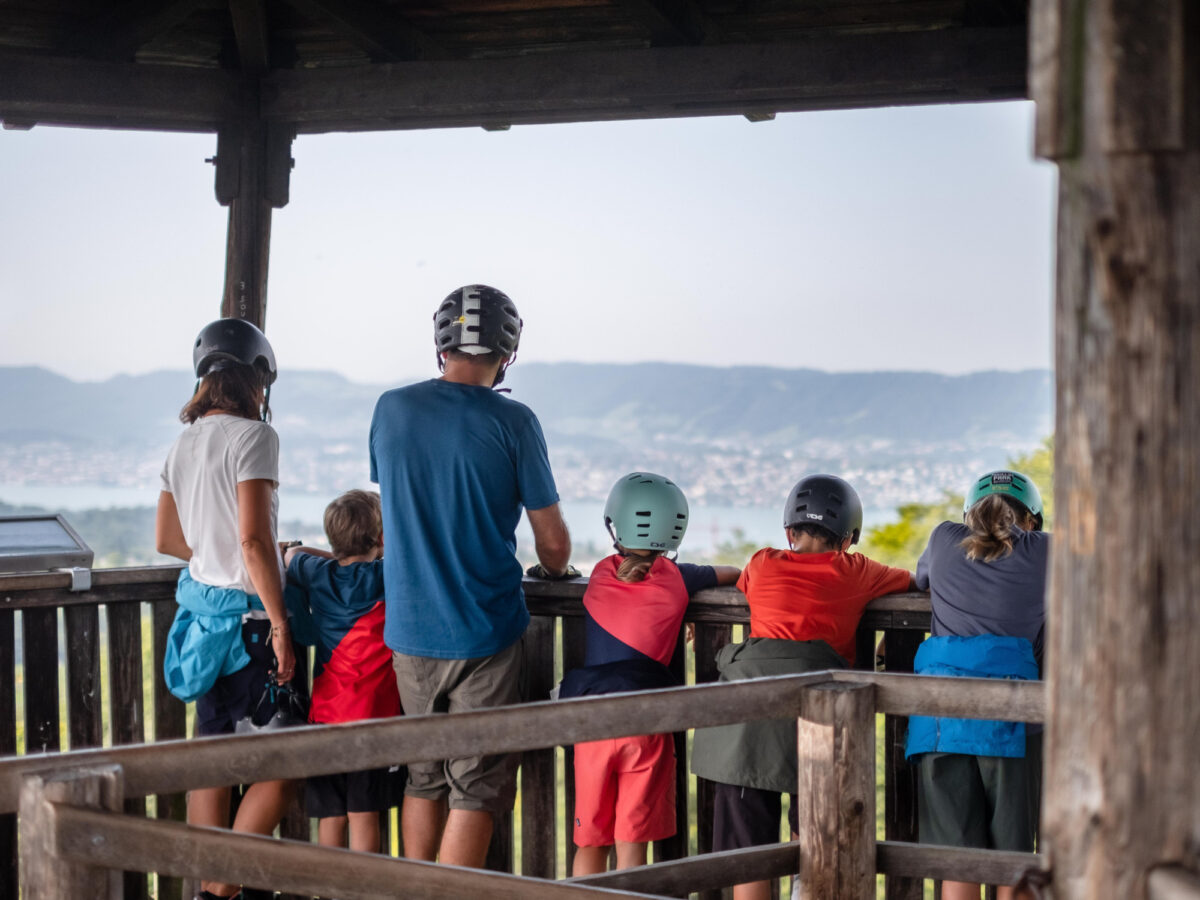
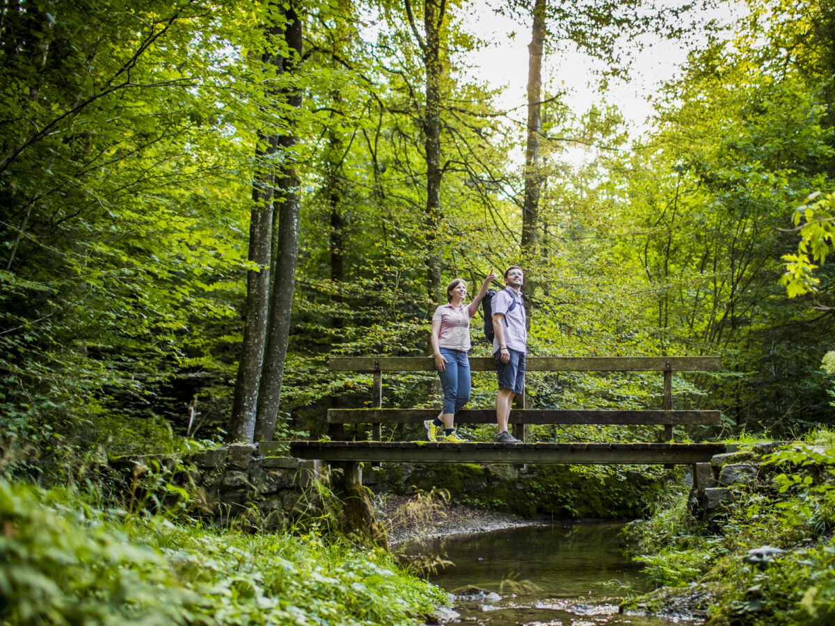
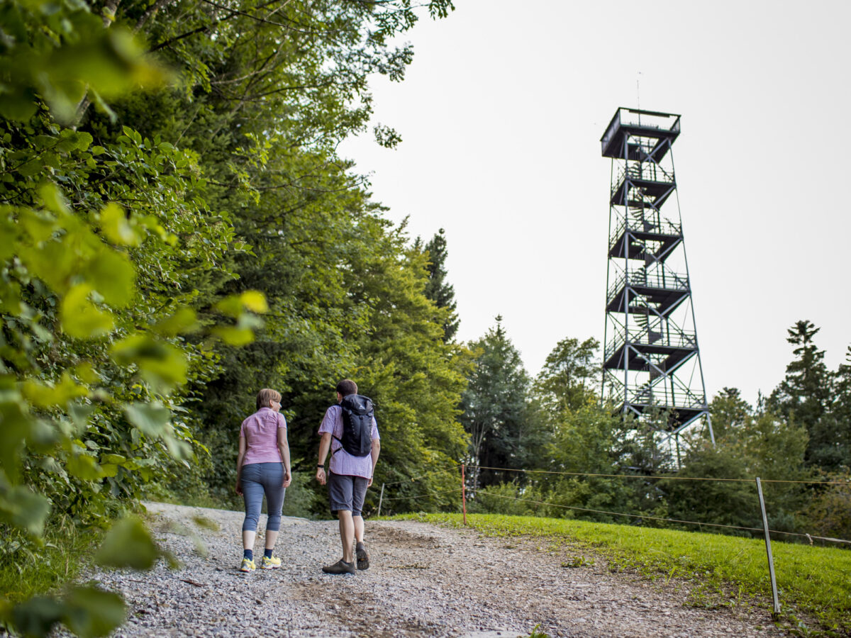
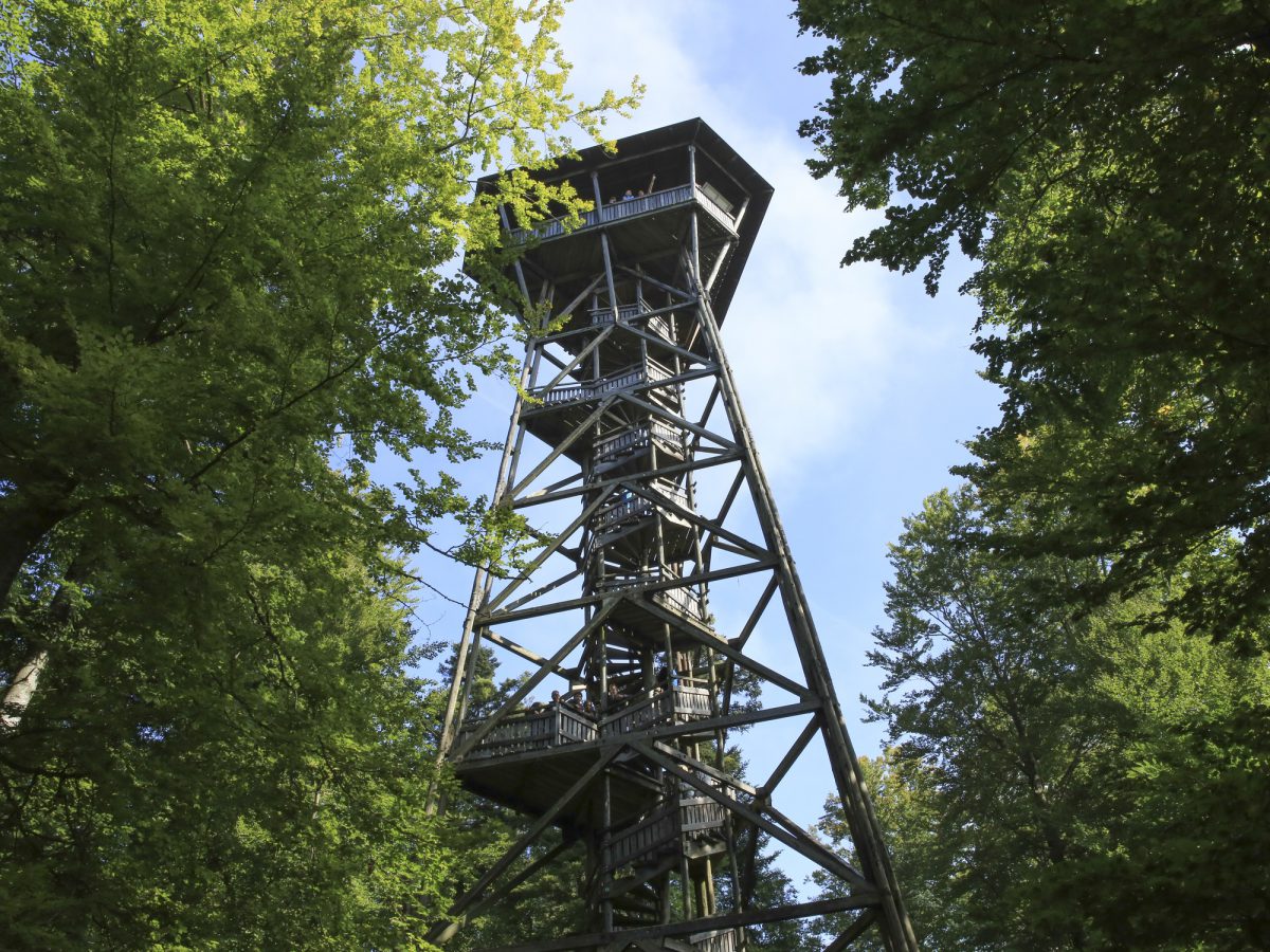
If you want to enjoy the 360 degree view above the treetops, climb up the 30-m high lookout tower. The roads to Toggwil climb very gradually through the woods. When you leave the woods, you’ll be rewarded with an open view of Lake Zurich, and from Toggwil the path through the Meilen Tobel is very varied.
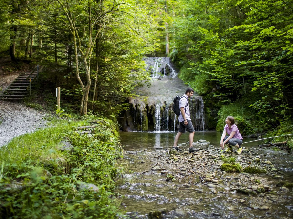
It snakes by many boulders and takes you to the ruins of the Friedberg fortress on the left, after passing a large waterfall.
Particularly Recommended
A visit to the approx. 35m (115ft) high look-out tower just before the Restaurant Hochwacht. The viewing platform of the tower is 33m (108ft) high and offers a magnificent panorama of Lake Zurich and as far as the Swiss Alps.
Catering Facilities En Route
Once at Forch train station, those who have worked up an appetite will find the Hotel Restaurant Wassberg, a pretty country inn, after a 15 minute walk in the opposite direction. The detour is well worthwhile. Otherwise, at the end of the tour in Meilen there are many eateries, such as the Löwen and Hirschen am See inns, as well as the delightful Café Glück.
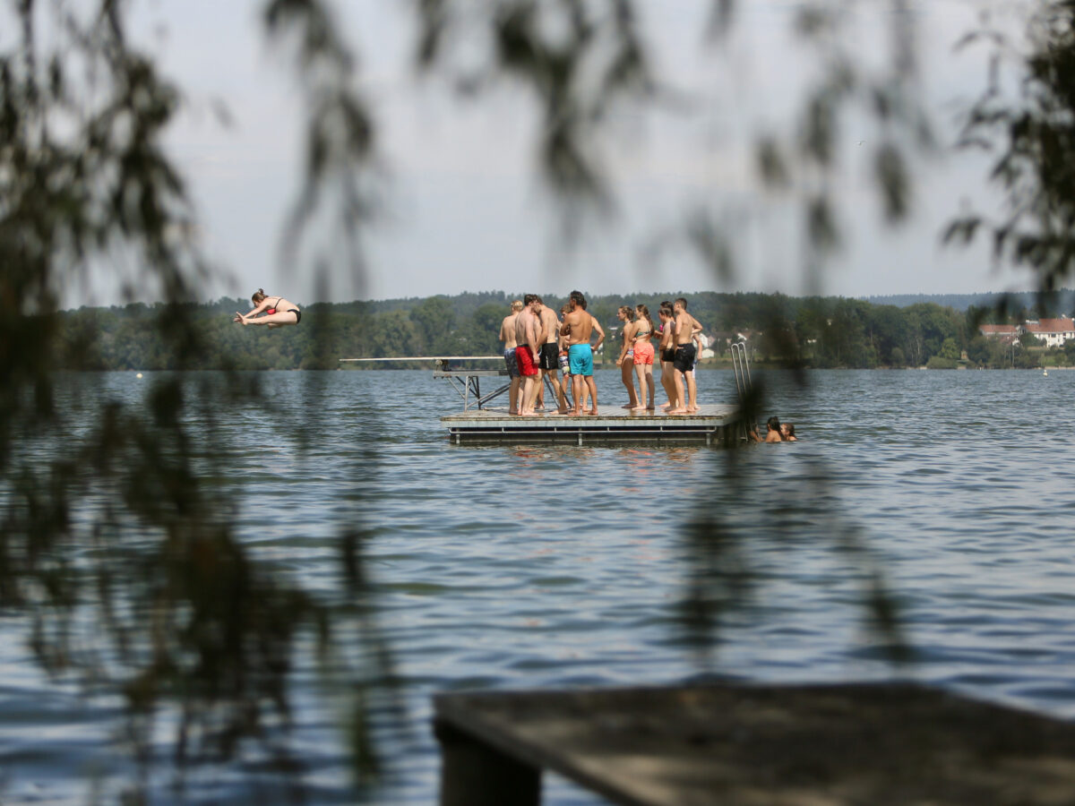
Greifensee Lake
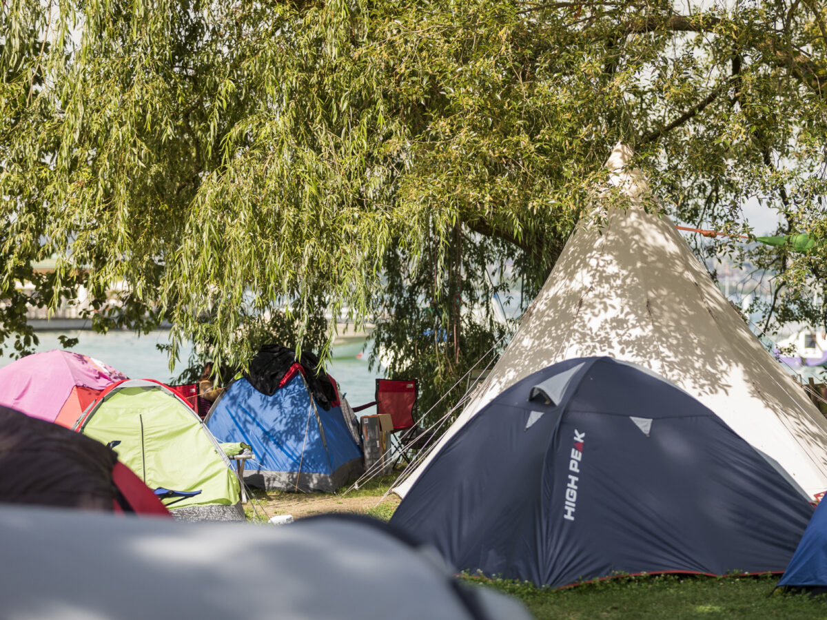
Maurholz Camping Site

Lido Egg

Café am Puls
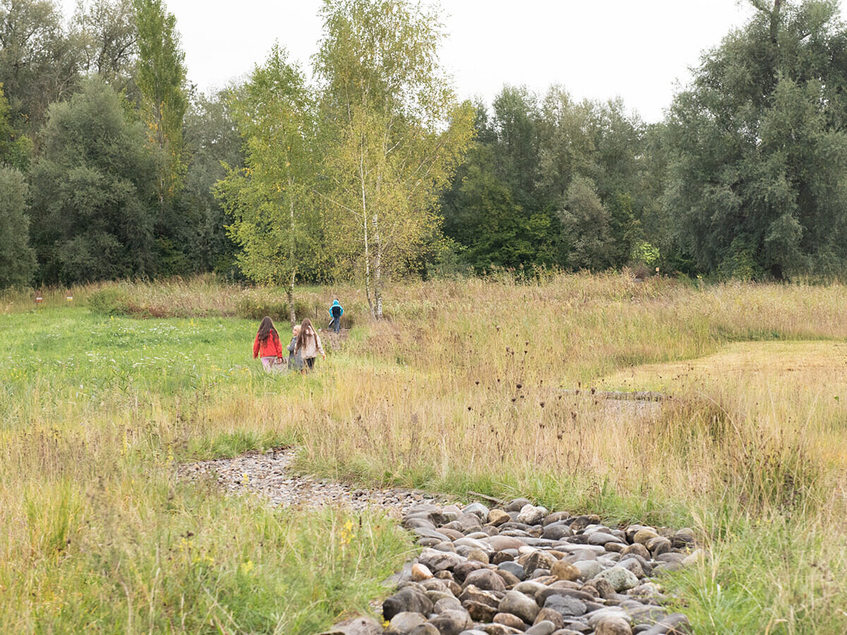
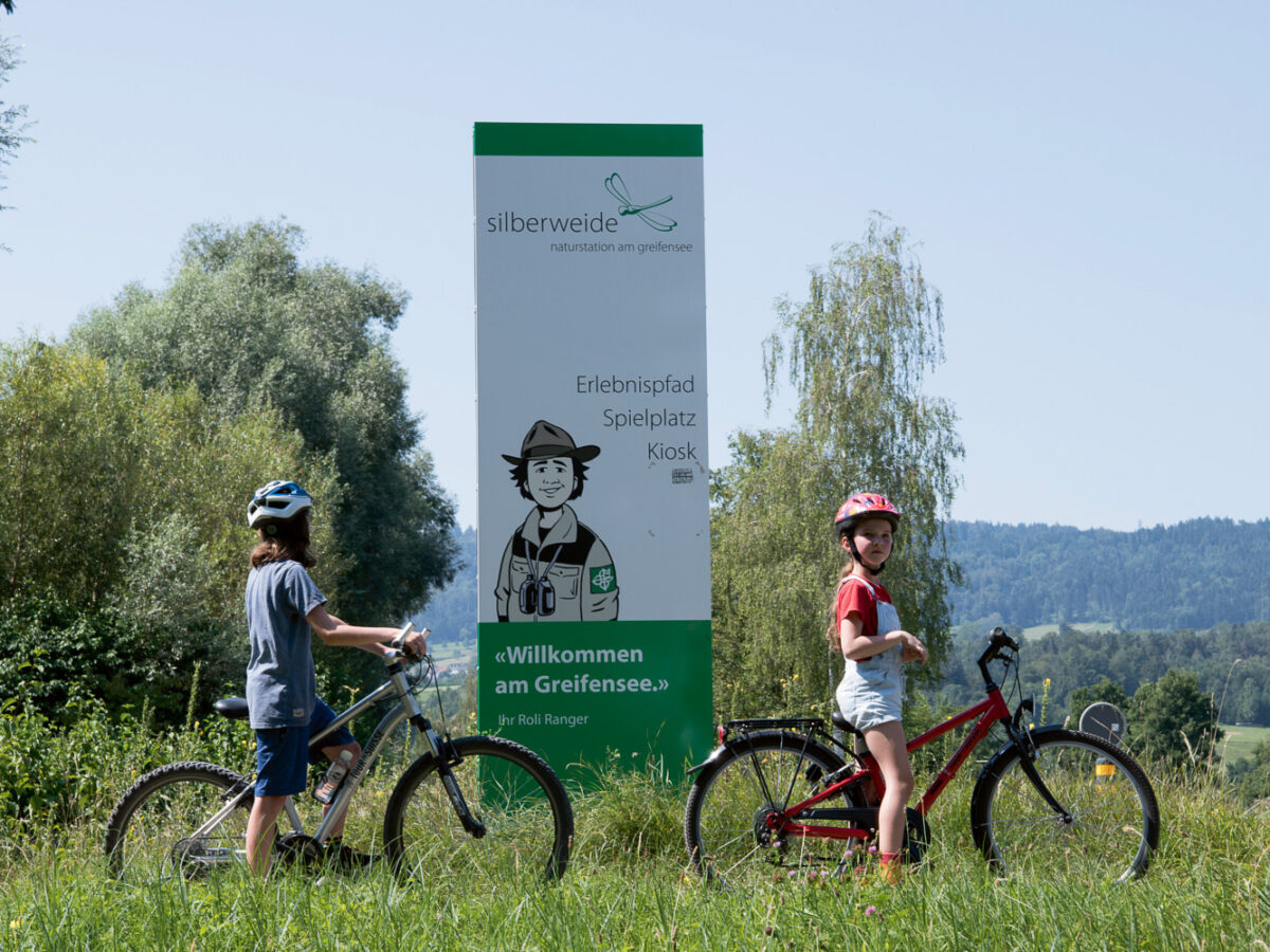
Silberweide Nature Centre

Greifensee Skate
Bike Trail Roundtrip Greifensee
Loorenkopf Trail

Kafi Domino