
Unterägeri
Ägeri Valley Panorama Trail
This panorama path covers a distance of almost 18 kilometers (11 miles) and leads from Unterägeri via a hilly stretch to the village of Morgarten.
- Start: Unterägeri center
- Finish: Morgarten Memorial (by the lake)
- Length: 18 km
- Duration: 5.5 hours
- Difference in elevation: 706 m
- Level of difficulty: easy
- Physical fitness: medium
Route Description
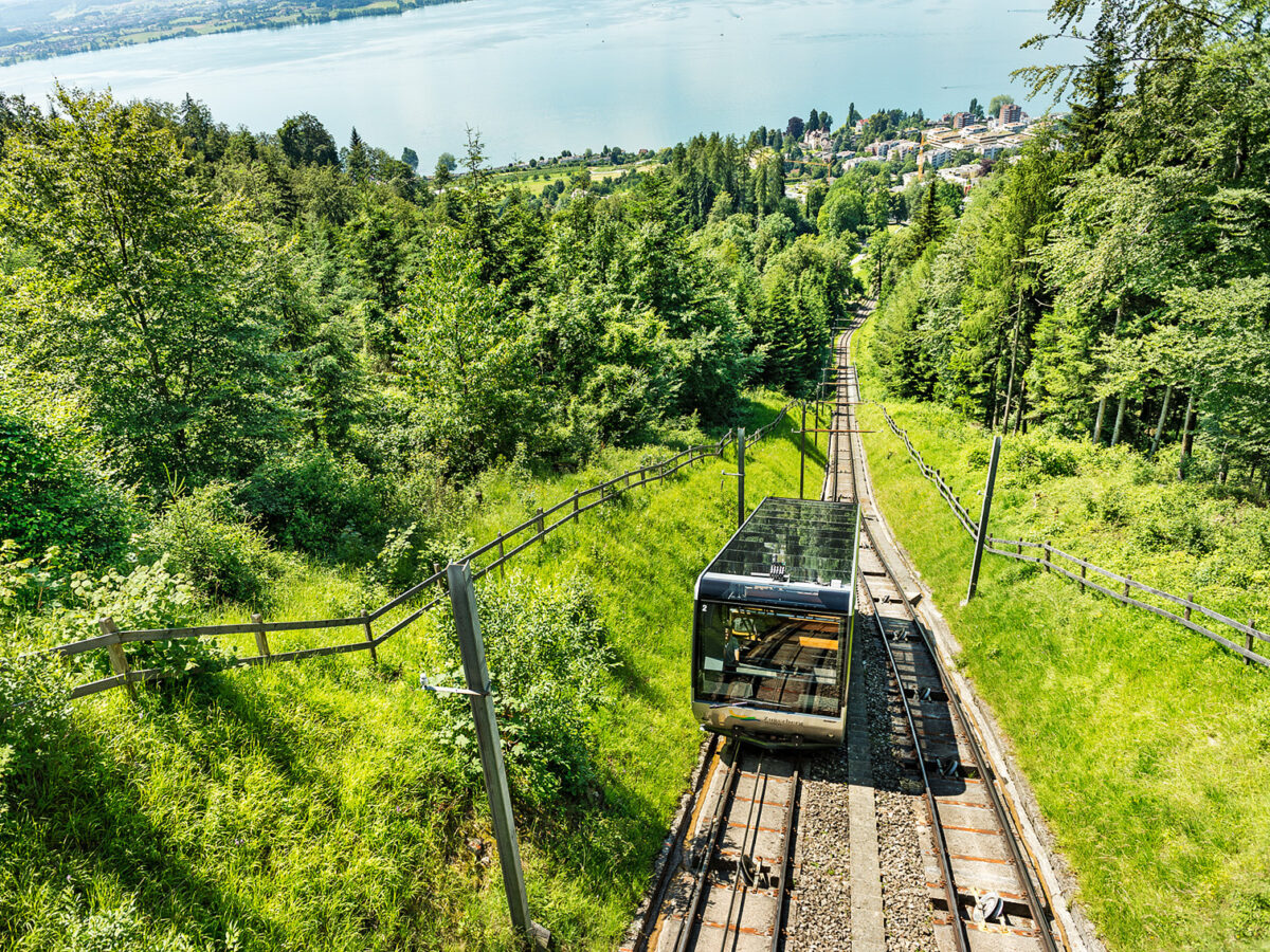
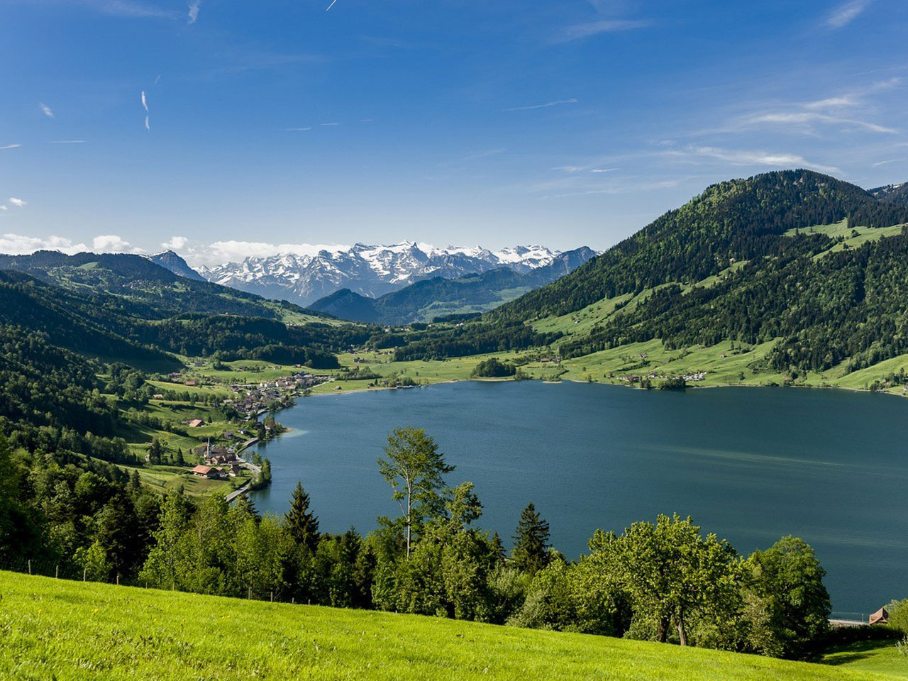
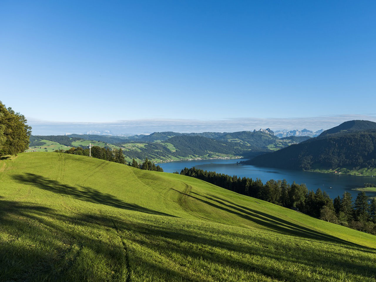
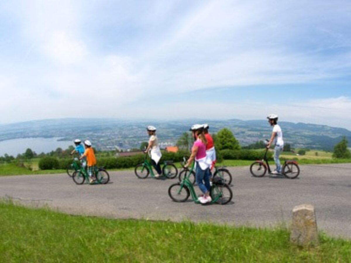
This hike from the village of Unterägeri, near Zug, leads via a hill high above the Ägerisee lake to Morgarten. From Unterägeri, a well-maintained path takes you through forests and meadows towards the Gottschalkenberg. This hilly area lies on the border between the cantons of Zug and Zurich and at its highest point is 1,204 meters (3,950 ft) above sea level. The route continues along the shoulder of the hill through dense forests high above the Ägerisee. Persevering hikers reach Morgarten after around five hours and almost 18 kilometers (11 miles).
Catering Facilities en Route
In the villages of Unterägeri and Morgarten, hungry hikers can find various places to have a bite to eat. On the Gottschalkenberg, if you deviate just a few meters from the path, you will find the Restaurant Gottschalkenberg, which – with its large terrace, children’s playground, and small-animal enclosure – invites walkers to stop and linger awhile.
Ägeri Valley Panorama TrailUnterägeri, Zentrum
6314 Unterägeri
Website
Bike Trail Unterägeri to Morgarten
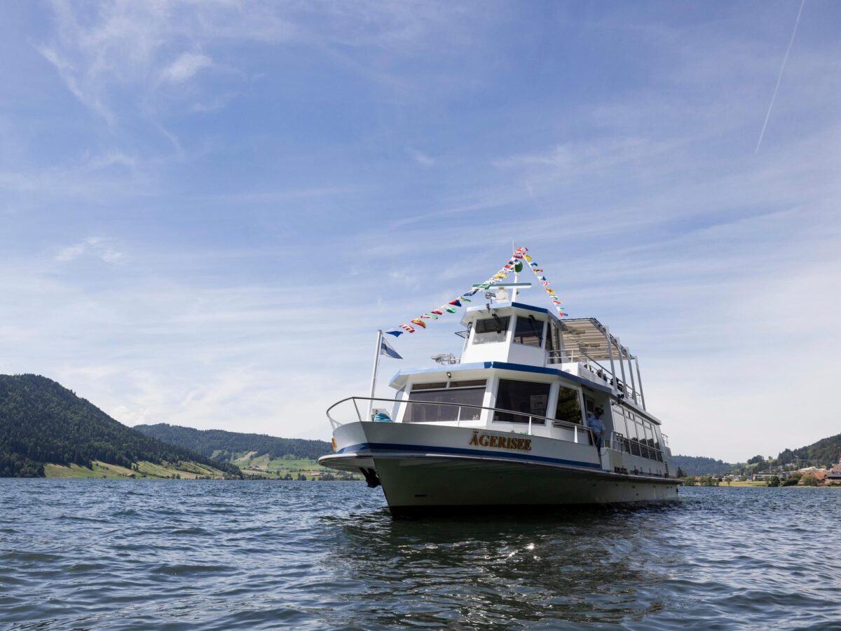
Lake Ägeri Cruises

Knight’s Journey on Lake Ägeri
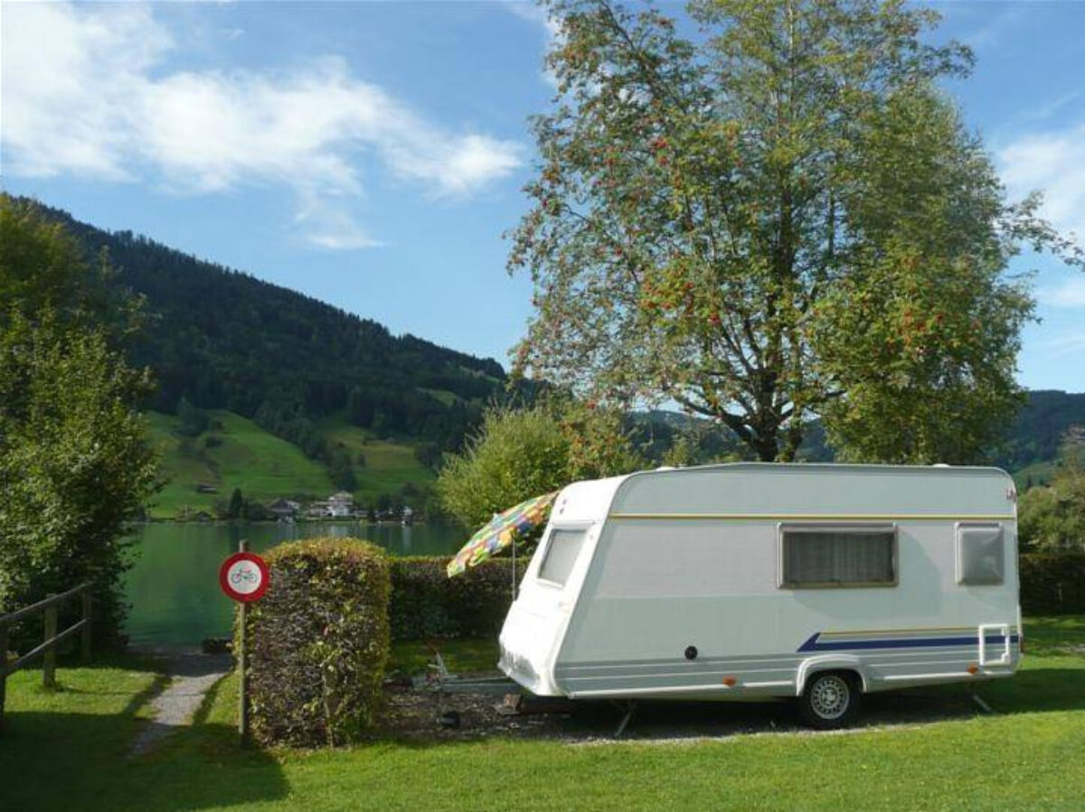
Camping Unterägeri

Ägeribad

Raised Bog Zugerberg
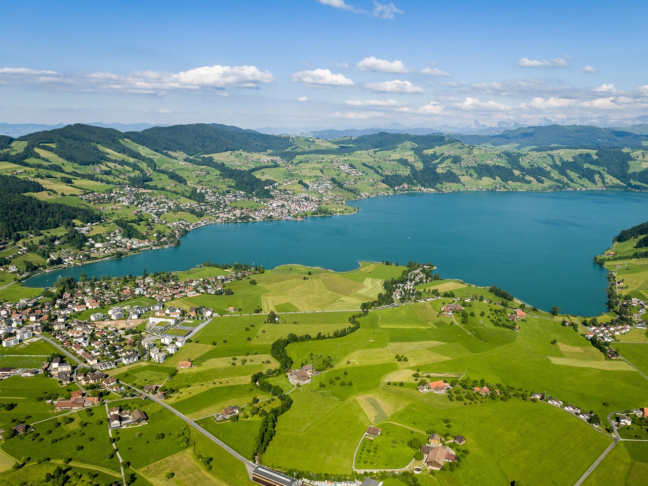
Lake Ägeri
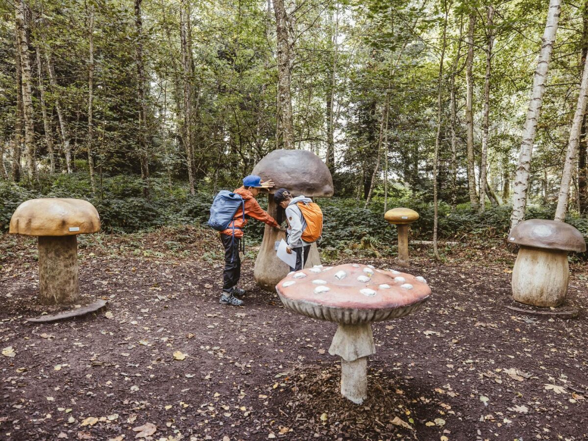
Zugiblubbi Adventure Trail
Scooter Fun in Zug