

Sattel-Aegeri
High Mountain Trail Schwyz
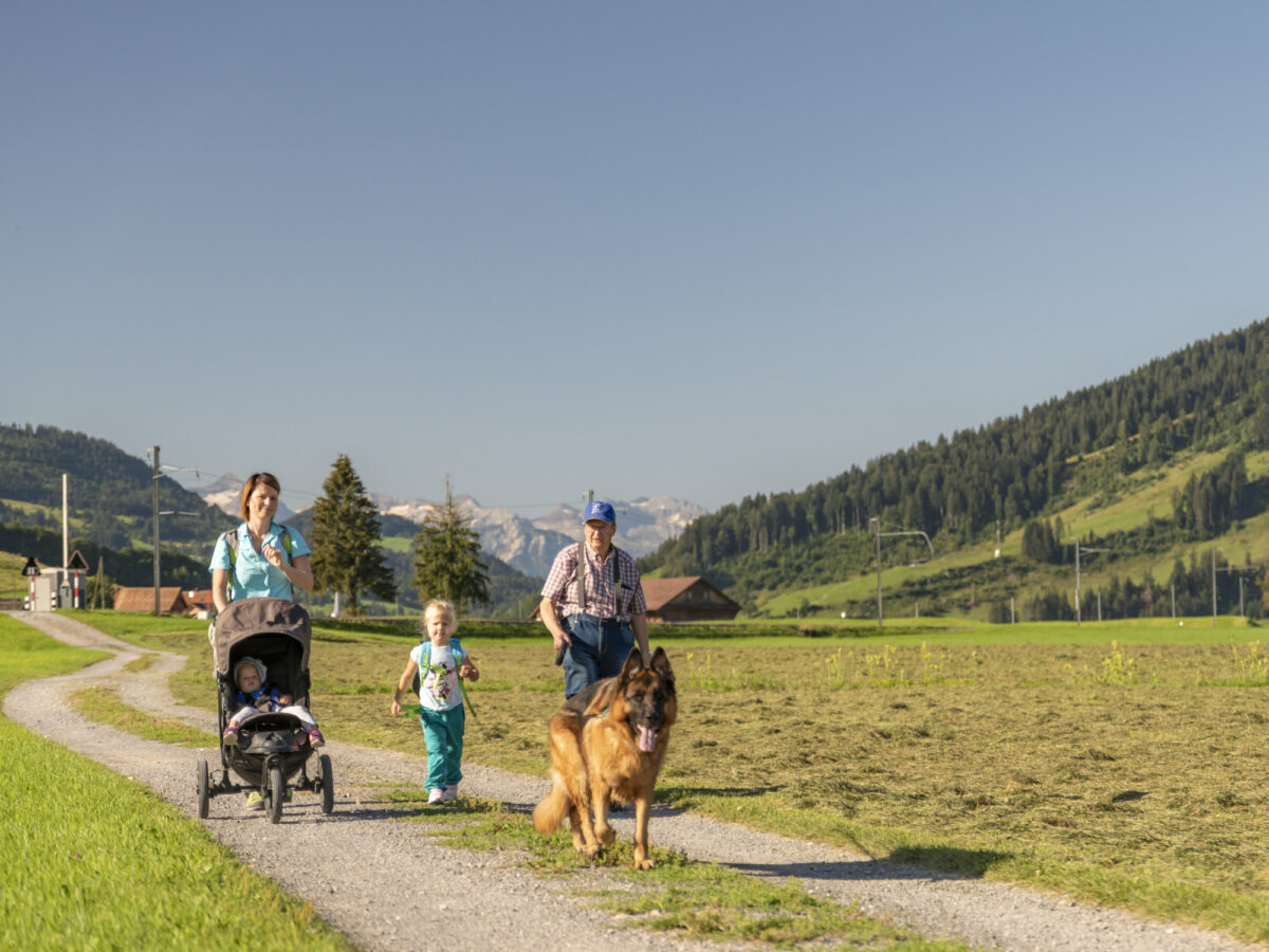
This section of the Schwyz panorama trail leads right through the Sattel-Hochstuckli region.
Küssnacht
- Section Sattel to Haggenegg
- Start: Sattel-Aegeri
- Finish: Haggenegg
- Length: 13 km
- Duration: 4 hours
- Difference in elevation: 760m (
- Level of difficulty: easy
- Physical fitness: modearte
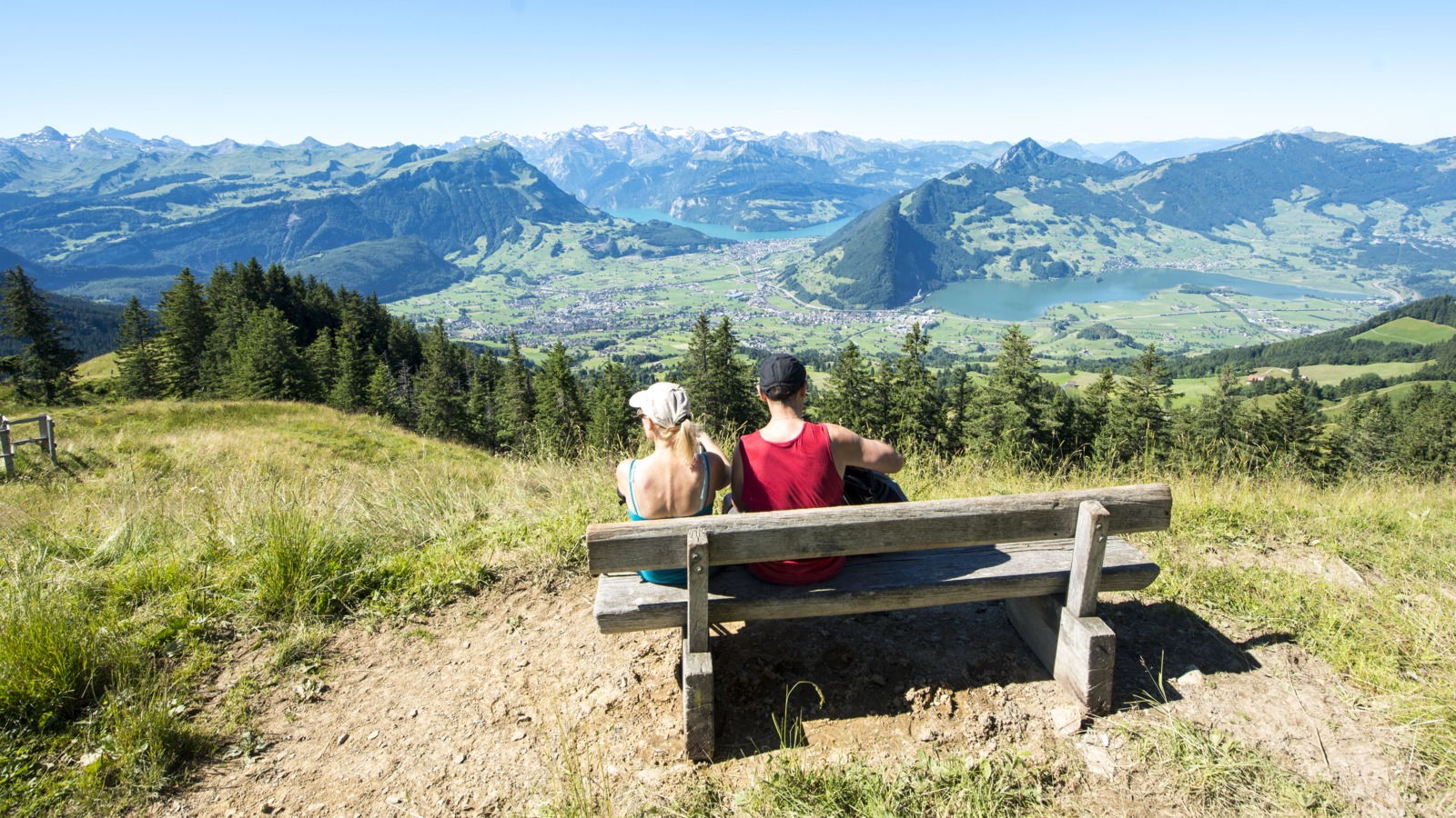
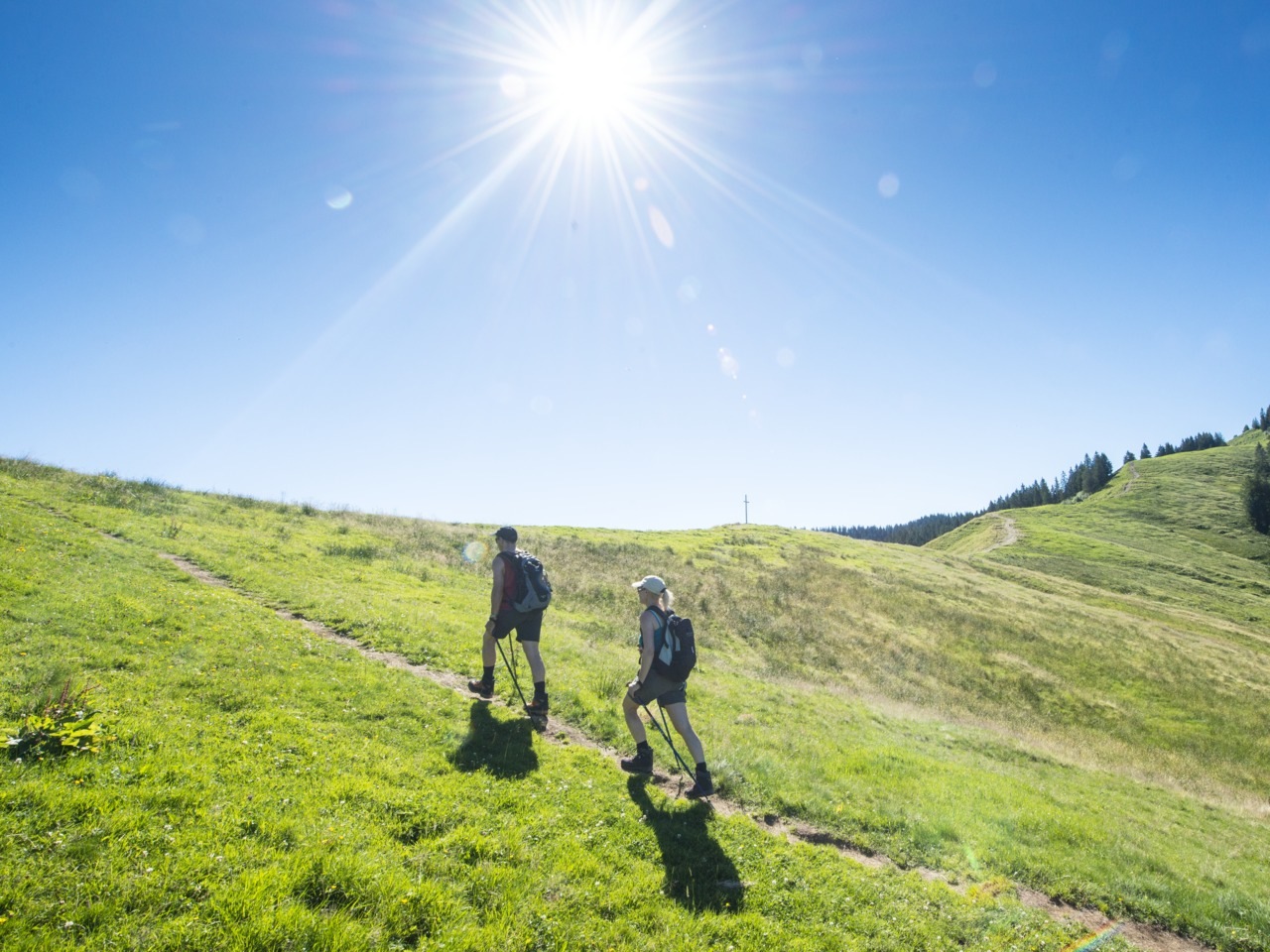
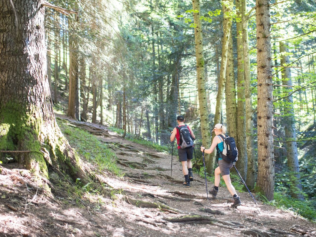
Route Description
This leg of the Schwyz high-Alpine trail starts with a strenuous but not particularly difficult climb to the Mostelberg. Those who prefer to take things more easily can shorten the route with a leisurely gondola ride. On the way to Haggenegg, where the path crosses with the Way of St. James, hikers can delight in wonderful panorama views.
Particularly Recommended
On the Mostelberg, it is worth taking a detour to the almost 400 m long suspension bridge, the “Skywalk“. It is also worthwhile taking in the Hochstuckli, which offers wonderful panoramas of the two Mythen mountains and the canton of Schwyz.
Catering Facilities En Route
All along the way, there are many mountain restaurants serving regional specialties.
Opening Hours
open to the public all day
Prices
free of charge
Address
Map
380 m away
Morgarten Trail
Today's children walk along the trail of the memorable Battle of Morgarten and learn with radio plays what has happened according to legend.

408 m away
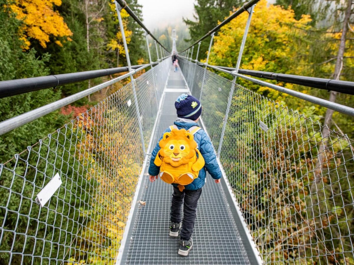
Suspension Bridges Skywalk
At 409 yards, the Skywalk is one of the longest pedestrian suspension bridges in Europe.

480 m away
Sattel-Hochstuckli in Summer
Just a short drive from Zurich, the pre-Alpine region of Sattel-Hochstuckli offers plenty of variety for nature lovers.
555 m away
Rondo's Riddle Trail
Little explorers head out on a puzzle-solving mission along the Bridge Trail, helping the mountain witch regain her lost powers.
559 m away
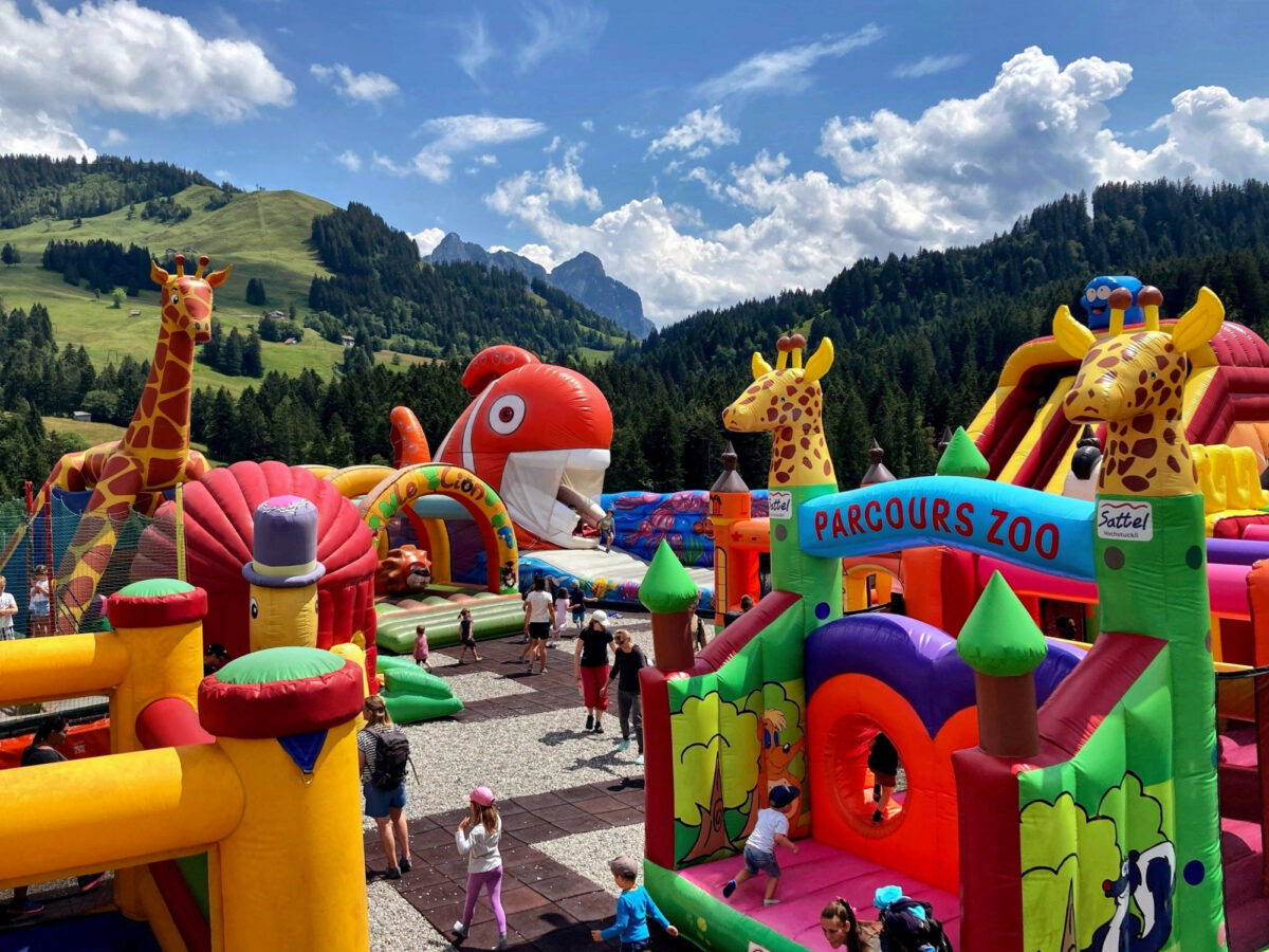
Rondos Playland
A fun park like no other: On Rondos Playland, the little ones are having a great time in the bouncy castles, on the toboggan run and tubing track.
3 km away
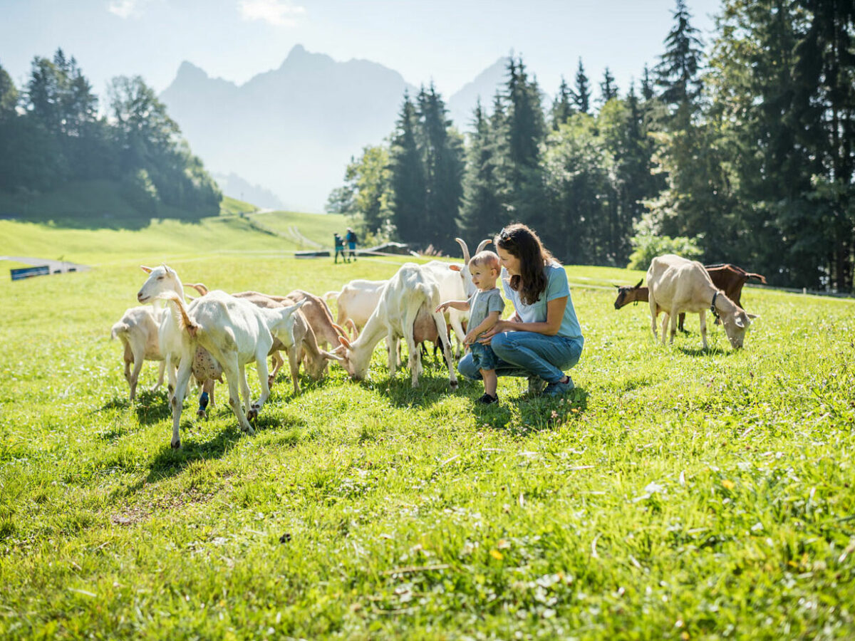
Goat Trail
With puzzle fun, interactive stations and ice cream at the end, the Goat Trail – a themed adventure trail – invites you to explore the world of goats.
4 km away
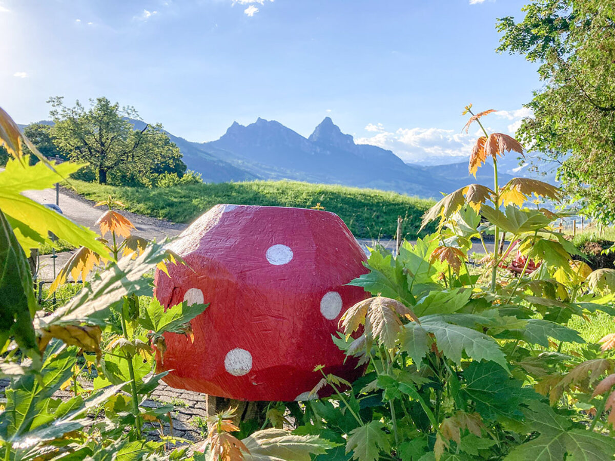
Lucky Mushroom Trail
From mushroom to mushroom – on this circular trail, nature lovers can immerse themselves in the local flora and fauna, listen to songs, play games and marvel at the view.
5 km away
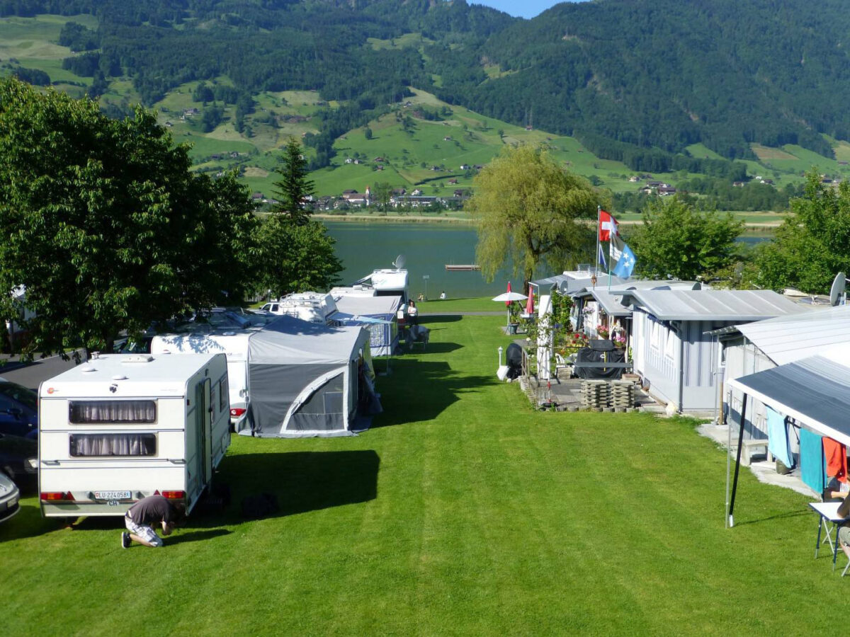
Camping Buchenhof
Camping under the beautiful cherry trees is the perfect way to relax. Situated directly on Lake Lauerz, Buchenhof is the ideal starting point for mountain excursions and hikes.
5 km away
Raised Bog Rothenthurm
Discover the nature reserve with its animal and plant species on an enjoyable and educational walk. With picnic and barbecue areas along the way.
Key Partner