Hoch-Ybrig
«7-Egg» Trail Ybrig
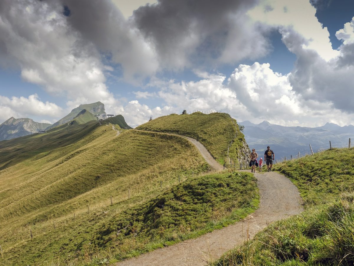
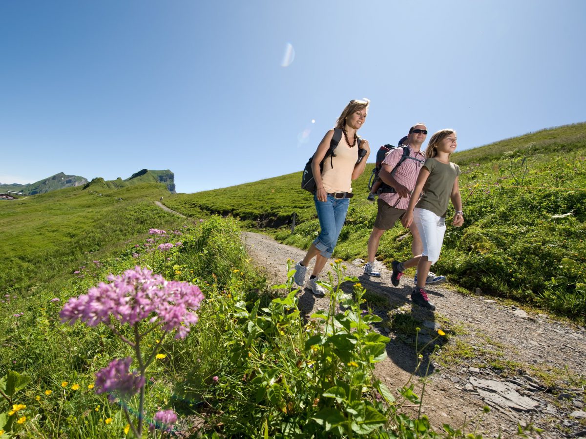
A high-Alpine trail with imposing far-reaching views of the high Alps, lakes and valleys.
- Travel time from Zurich Main Station: 85 min.
- Start: Hoch-Ybrig, Weglosen LWS
- Finish: Brunni
- Length: 13km (8 miles)
- Duration: 4 hours
- Difference in elevation: 600m (2,000ft)
- Level of difficulty: easy
- Physical fitness: medium
Route Description
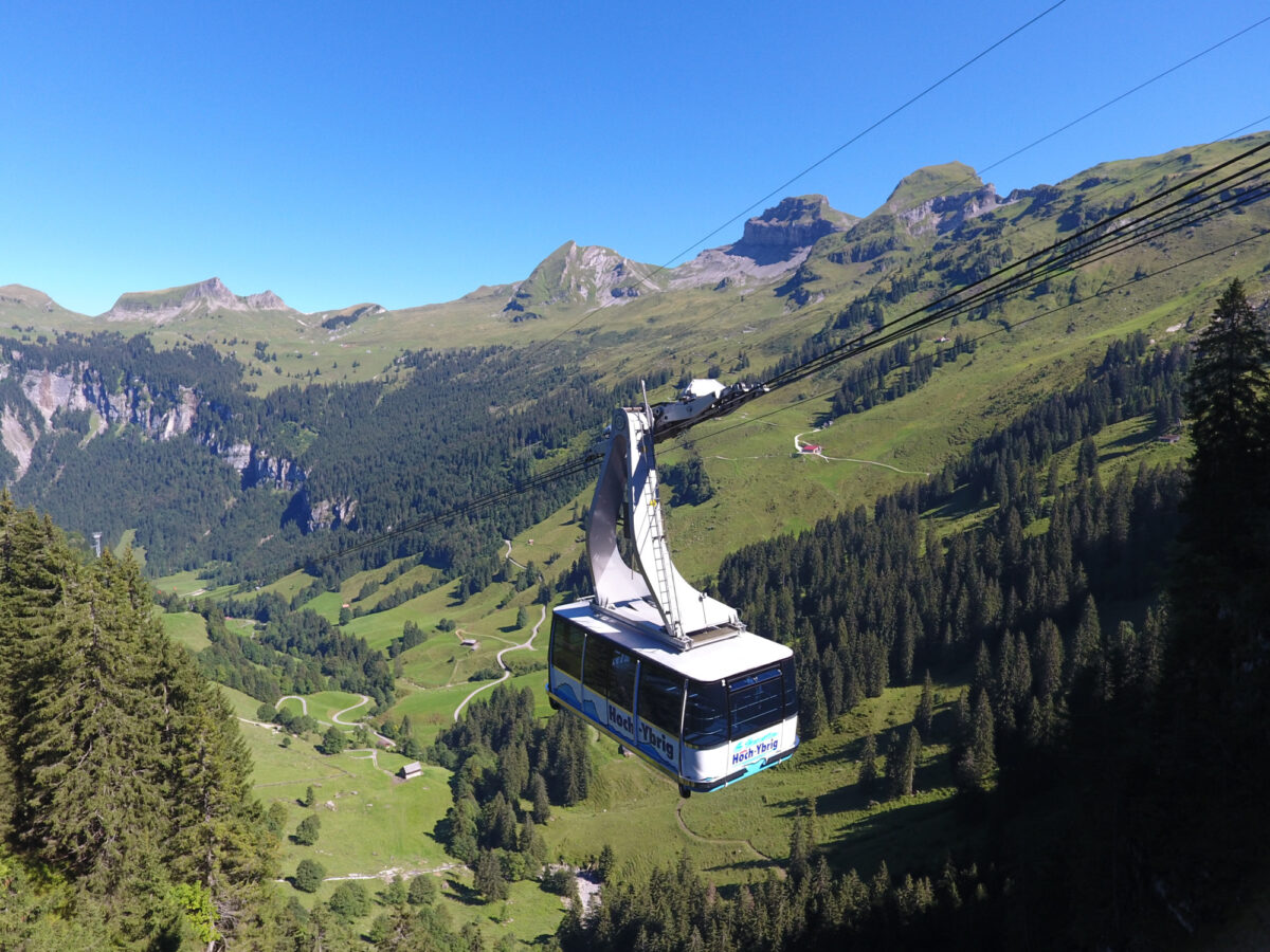
The hike begins with a ride on the aerial cableway to the Seebli summit station. It then continues on foot to the Spirstock, with a view of the Muotatal valley and Stoos and across Lake Zurich into the Zurich Oberland. From the Spirstock, the trail passes by the Laucheren-Chappeli chapel to Windegg und over the Sternenegg to the top of the Ibegeregg pass. The route then leads from Ibergeregg to Müsliegg and via Stäglerenegg to Holzegg at the foot of the Grosser Mythen. The last leg comprises the descent to Brunni; a more comfortable option is to take the aerial cableway down into the valley.
Particularly Recommended
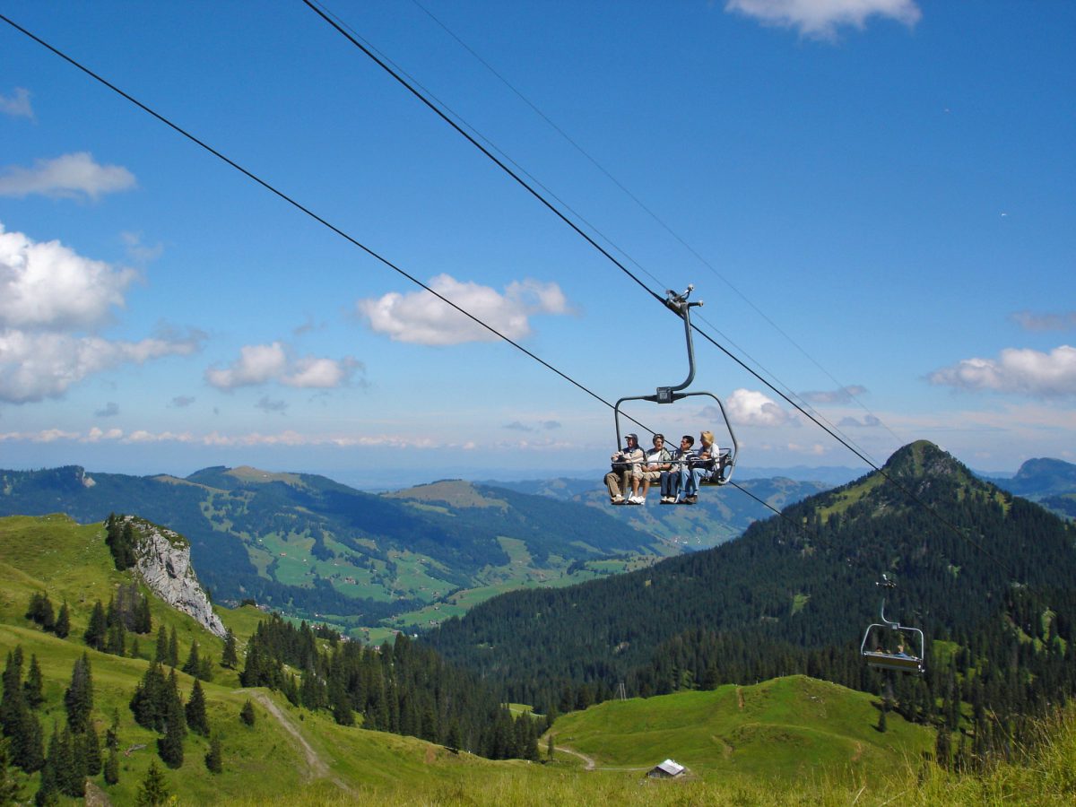
If you have time and love a rush of adrenaline, you can take another chairlift (Sternen-Bahn) from the Seebli summit station, and then from the top station zoom back down to the starting point of the hike on the “Sternensauser Zip Wire”, one of the longest zip lines in the world (2.3km/1½ miles).
Catering Facilities En Route
Hoch-Ybrig is a popular hiking and skiing region and consequently home to an abundance of bars and restaurants.

Hoch-Ybrig in Summer
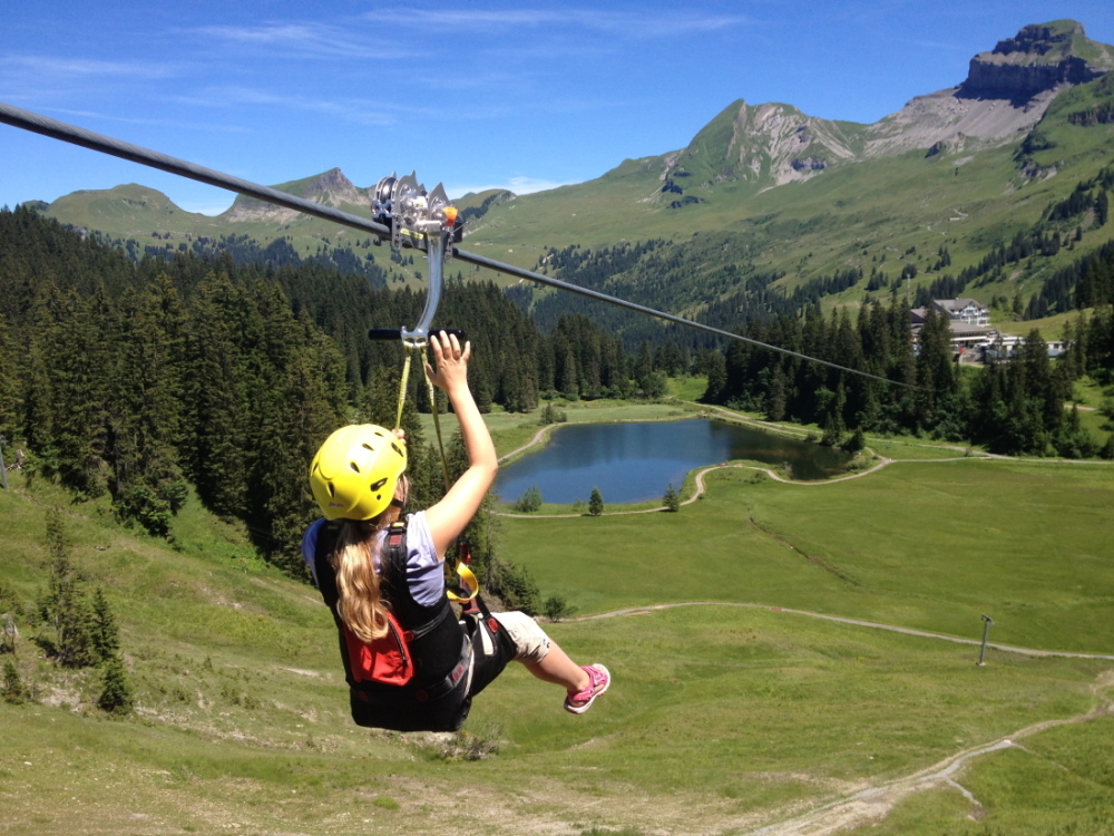
“Sternensauser” Zip Wire
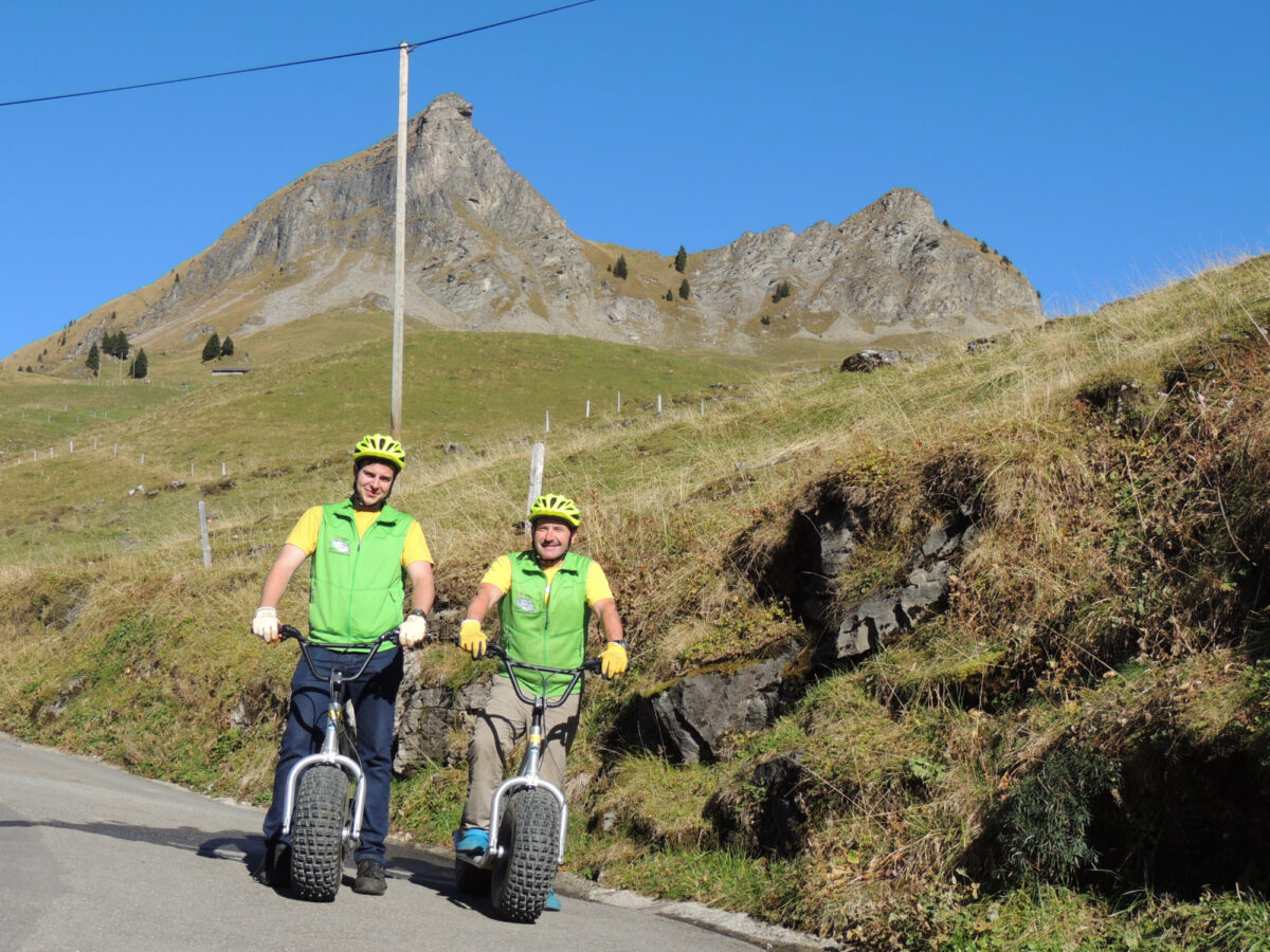
Monster Scooter Druesberg

Kabi Bike Park Oberiberg

Roggenstock Lodge
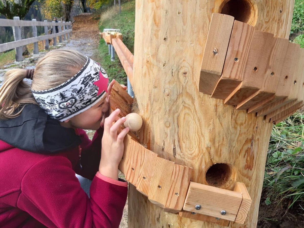
Marble Run Circular Trail
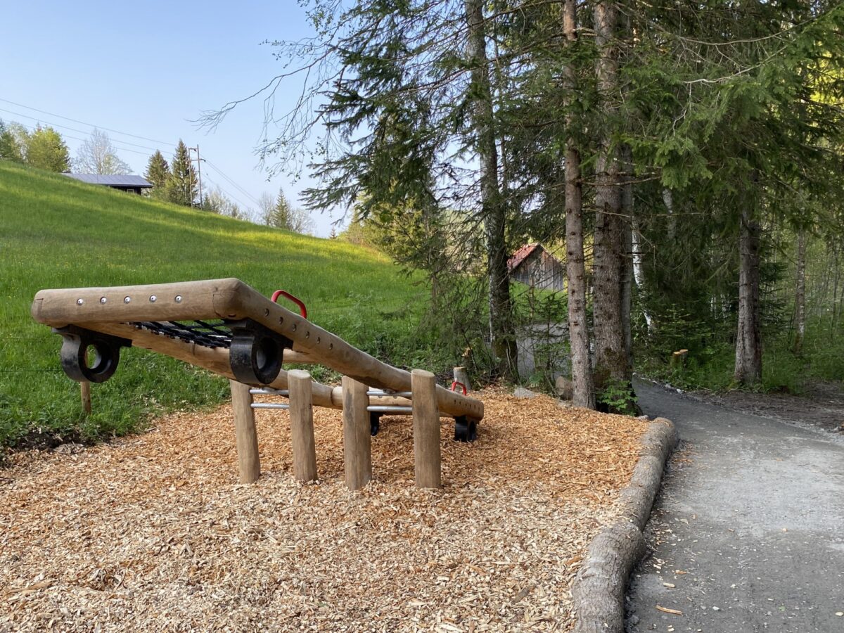
Eibi’s Adventure Trail
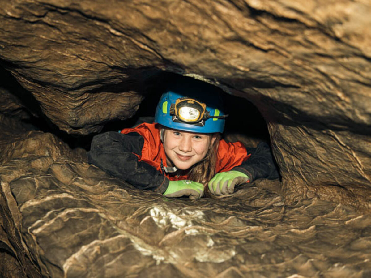
Hölloch Cave Experience
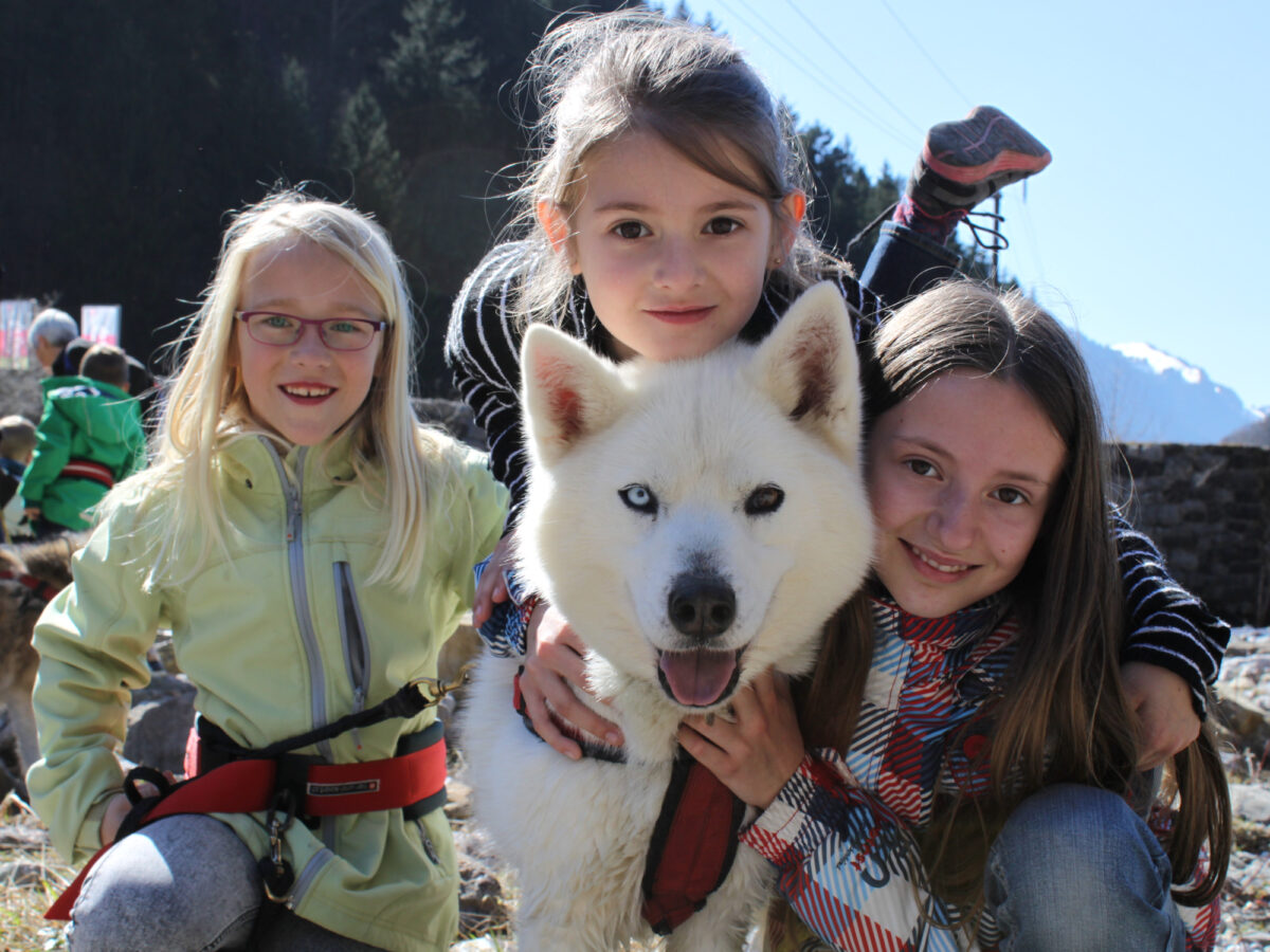
Husky-Lodge